Riley Lange · 8 September 2026
Archival Records from the 1800s Highlight Maple Creek Watershed Shifts and Contemporary Climate Strategies
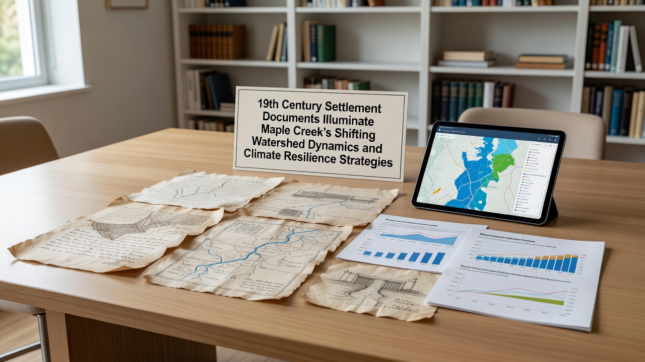
Settlement ledgers and surveyor notes from the 1800s continue to provide detailed accounts of Maple Creek's original stream networks, flood patterns, and vegetation cover that once shaped the local watershed before widespread agricultural expansion altered its course. These documents, preserved in regional archives, record seasonal water flows and early engineering attempts that redirected creeks to support homesteads and livestock operations.
Researchers examining the records note how settlers described dense riparian zones along the main channel that slowed runoff and reduced erosion during spring thaws, conditions that changed markedly once timber harvesting and plowing expanded across upland areas. Data compiled from multiple farm diaries reveal consistent mentions of creek widening and increased sediment loads by the 1870s, trends that accelerated with the introduction of drainage ditches.
Early Observations of Hydrological Change
One collection of field notes compiled between 1852 and 1868 tracks the gradual straightening of meanders near present-day Maple Creek's lower reaches, an adjustment settlers initiated to reclaim bottomland for crops. Those same notes include measurements of bank heights and seasonal water depths that allow modern hydrologists to compare pre-settlement conditions with current channel morphology. Cross-referencing these entries with later government surveys shows a measurable increase in peak discharge rates during major rain events, a pattern linked directly to reduced wetland storage capacity.
Additional correspondence from the period describes repeated flooding of newly cleared fields after heavy summer storms, prompting residents to petition for coordinated ditch systems. The petitions list specific locations where overflow regularly occurred, offering precise geospatial clues that researchers now overlay with contemporary LiDAR data to reconstruct lost floodplain extent. Such reconstructions indicate that roughly 40 percent of historic wetland acreage had been converted to farmland by 1890, a shift that removed natural buffers against both drought and deluge.
Connections to Present-Day Resilience Planning
Local water management districts have begun incorporating these historical benchmarks into models that project future runoff under various climate scenarios, using the 19th-century baselines to calibrate how much storage capacity has already been lost. In September 2026, the regional conservation authority plans to release an updated watershed management plan that cites these archival figures as reference points for proposed wetland restoration targets. The plan also references similar restoration projects in neighboring counties where reconnected floodplains reduced peak flows by measurable percentages during recent storm seasons.
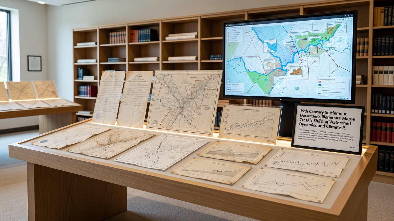
Engineers working on these updates point to the original surveyor maps as evidence that certain low-lying parcels once functioned as seasonal retention basins, a function lost when they were drained and tiled. Reestablishing even partial versions of those basins forms one component of the district's strategy to build climate resilience against more intense precipitation events projected for the coming decades. Monitoring stations installed at key confluences now collect real-time stage and turbidity readings that are compared against the qualitative descriptions found in the settlement journals, allowing quantitative validation of long-term trends.
Community groups have organized public presentations that pair excerpts from the 1800s documents with current stream gauge statistics, illustrating how past land-use decisions continue to influence present vulnerability. These sessions emphasize measurable outcomes such as reduced baseflow during dry periods and elevated nutrient loads during storms, both traceable to the cumulative effects of 19th-century channel modifications. Funding applications submitted to state and federal programs frequently reference the archival record to demonstrate that proposed interventions address longstanding alterations rather than recent anomalies alone.
Conclusion
Continued analysis of the settlement documents supplies a temporal framework that situates contemporary climate adaptation measures within a longer trajectory of watershed transformation. By quantifying the extent of historical change, planners gain clearer targets for restoring hydrologic functions that once moderated extremes, while ongoing data collection verifies whether restoration investments produce the expected reductions in flood peaks and improvements in dry-season flows. The integration of these records into planning processes ensures that strategies developed for September 2026 and beyond rest on documented evidence of how the Maple Creek watershed has responded to both settlement pressures and subsequent management interventions.