Morgan Washington · 22 September 2026
Residents Along Maple Creek Establish Volunteer Stations to Track Seasonal Bird Movements
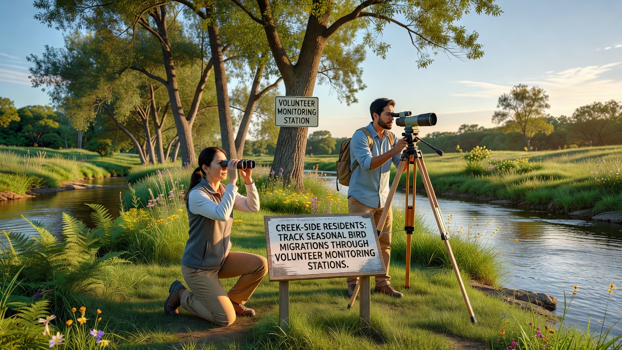
Volunteers living near Maple Creek have set up a network of monitoring stations that record seasonal bird migrations passing through the watershed each year, and the effort relies on consistent observation protocols combined with simple recording tools such as binoculars, audio recorders, and standardized data sheets. Local participants coordinate through community schedules that assign shifts at fixed points along the creek banks where sight lines remain clear, and they log species counts, flight directions, and arrival times during peak migration windows that typically occur in spring and fall.
Station Setup and Daily Operations
Each station consists of a weatherproof shelter equipped with identification guides, a basic weather station, and a logbook that captures daily totals, while volunteers note wind speed, temperature, and cloud cover because these conditions often influence migration routes. Training sessions occur at the start of each season so new participants learn identification calls for species such as warblers, waterfowl, and raptors that follow the creek corridor, and experienced observers pair with newcomers during teh first several shifts to ensure consistent data quality. Data collected at the stations feeds into larger regional databases where patterns can be compared across multiple watersheds, and the process allows researchers to cross-reference local observations with broader surveys conducted by national programs.
September 2026 marks the beginning of the fall migration period when many species begin their southward movement, and volunteers have already recorded early arrivals of certain shorebirds that stop along the creek to rest before continuing farther south. Shifts run from dawn through late morning because activity peaks during those hours, yet some stations maintain evening coverage when nocturnal migrants can be detected by their calls. Participants use handheld devices to upload counts directly into shared spreadsheets so totals become available for review within hours of each observation period.
Data Patterns and Species Trends
Records from the past several years show consistent use of the Maple Creek corridor by at least 45 species during fall migration, with numbers fluctuating based on weather systems that either funnel birds along teh waterway or push them to alternate routes. Observers note that certain warbler species appear in higher counts during cooler, overcast days, whereas clear skies sometimes result in lower creek-side numbers as birds fly at higher altitudes. The volunteer stations also document stopover duration for individual species, which provides clues about habitat quality along the banks where insects and seeds remain available.
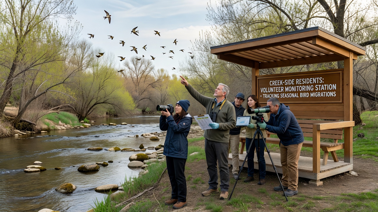
One station near the northern section of the creek has tracked a gradual shift in peak passage dates for several duck species over five consecutive seasons, and those changes align with temperature records collected at the same sites. Volunteers compare their findings with information from the Cornell Lab of Ornithology eBird platform so local counts contribute to continent-wide migration maps, and this integration allows analysts to identify whether Maple Creek serves as a primary or secondary route for particular populations. Additional comparisons with data from Environment and Climate Change Canada help place the creek observations within broader North American flyway patterns.
Community Involvement and Training
Participation remains open to residents who complete a short certification course covering basic ornithology, data ethics, and equipment maintenance, and the course runs twice annually to accommodate new volunteers who move into the area. Schools in the district sometimes send student groups to the stations for supervised visits that combine science lessons with hands-on counting exercises, and these outings introduce younger residents to systematic observation methods. Equipment donations from local businesses have kept the stations supplied with replacement batteries and updated field guides, while a rotating maintenance crew handles minor repairs to the shelters before each migration season begins.
Coordination meetings occur monthly during active periods so participants can discuss unusual sightings or adjust schedules around weather events that might affect visibility. A shared online calendar prevents double-booking and ensures every station maintains coverage on weekends when volunteer availability tends to increase. The resulting dataset now spans multiple years, and it supplies raw counts that researchers can use to examine how land-use changes along the creek may influence stopover frequency for specific species.
Conclusion
The volunteer monitoring stations along Maple Creek continue to generate detailed records of seasonal bird movements that integrate with larger scientific databases, and the community-driven approach relies on standardized methods, regular training, and consistent data sharing. Participation has expanded steadily since the program began, with new volunteers joining each season to maintain coverage at all established sites. The information collected supports ongoing analysis of migration timing and species composition while providing a practical model for other watersheds interested in similar observation networks.