Greta Schmidt · 20 October 2026
Trail Networks and Community Gardens Align to Support Maple Creek Restoration Efforts
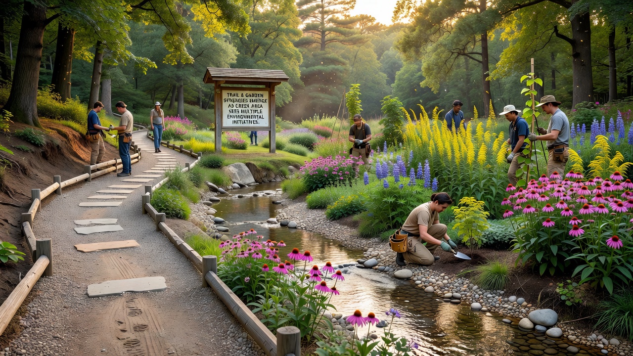
Multiple environmental projects along Maple Creek have begun to coordinate trail construction with community garden development, creating linked green spaces that support native vegetation and local wildlife corridors. Observers note that these efforts started gaining momentum in early 2025 when separate volunteer groups recognized overlapping goals around habitat restoration and public access. Data from regional monitoring stations indicates improved soil stability and reduced erosion rates in sections where garden beds border maintained paths.
Project Coordination Across Creek Sections
Local organizations mapped existing footpaths and identified gaps where garden installations could extend pollinator routes while also providing buffer zones for water flow. Researchers from the University of Saskatchewan documented how integrated plantings along these routes help filter runoff before it reaches the creek bed. In October 2026 several new trail segments will open that connect directly to established garden sites, allowing visitors to move between areas without crossing private land. Figures released by Environment and Climate Change Canada show a measurable rise in bird species counts near these combined sites compared with isolated trail sections from previous years.
Volunteer Roles and Resource Sharing
Community members who maintain the gardens have started sharing tools and seedlings with trail upkeep crews, which reduces duplication of purchases and storage needs. One group that tracks seasonal plant growth reported that species chosen for garden plots now match those used in trail-side restoration zones, creating continuous habitat strips. This approach emerged after data analysis revealed that fragmented plantings supported fewer insects than connected areas. People involved in both activities meet monthly to align schedules, and records show that joint work days have increased participation numbers across the board.
Monitoring and Measurement Practices
Equipment installed at key points along the creek collects water samples and soil data on a weekly basis, with results shared through a centralized online dashboard. Studies conducted by the Prairie Environmental Research Centre found that areas with both trails and gardens experienced lower sediment loads during spring runoff periods. Volunteers trained in basic sampling techniques contribute to these records, which helps expand the geographic coverage without requiring additional paid staff. The combined dataset now spans three years and allows direct comparison between connected green spaces and those developed in isolation.
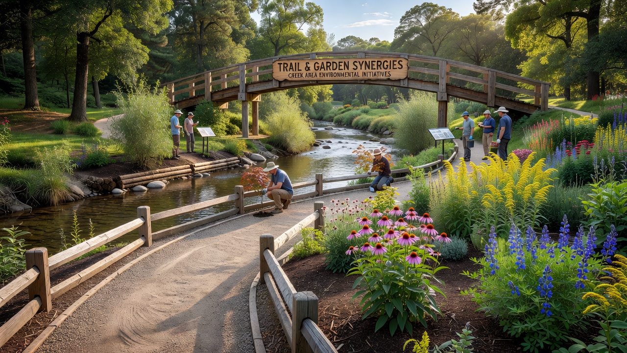
Funding for equipment and native plant stock has come through a mix of municipal grants and private donations, with allocation decisions guided by the shared mapping data. Those who review the project logs note that costs per meter of restored creek bank have declined since the trail and garden teams began coordinating purchases. Educational signs placed at junctions explain the connections between the two types of sites and include QR codes that link to the monitoring dashboard.
Expansion Plans Through 2027
Planners have identified additional creek segments where similar trail-garden pairings could extend the network further upstream. Preliminary surveys indicate that these extensions would require cooperation with adjacent landowners, yet early discussions suggest mutual benefits around flood mitigation and recreational value. A report prepared for the regional watershed authority projects that completing the planned linkages could increase accessible green space by 18 percent within city limits. Equipment for continued monitoring will be upgraded in 2026 using specifications drawn from the current three-year dataset.
Conclusion
Coordination between trail development and garden initiatives along Maple Creek has produced measurable environmental improvements while expanding public access. Continued data collection through October 2026 and beyond will help determine whether these patterns hold as the network grows. The approach relies on shared records, joint resource use, and consistent monitoring to maintain alignment between the different project types.