Rafael Koch · 3 November 2026
Volunteer Networks in Maple Creek Deliver Real-Time Insights into Ecosystem Dynamics
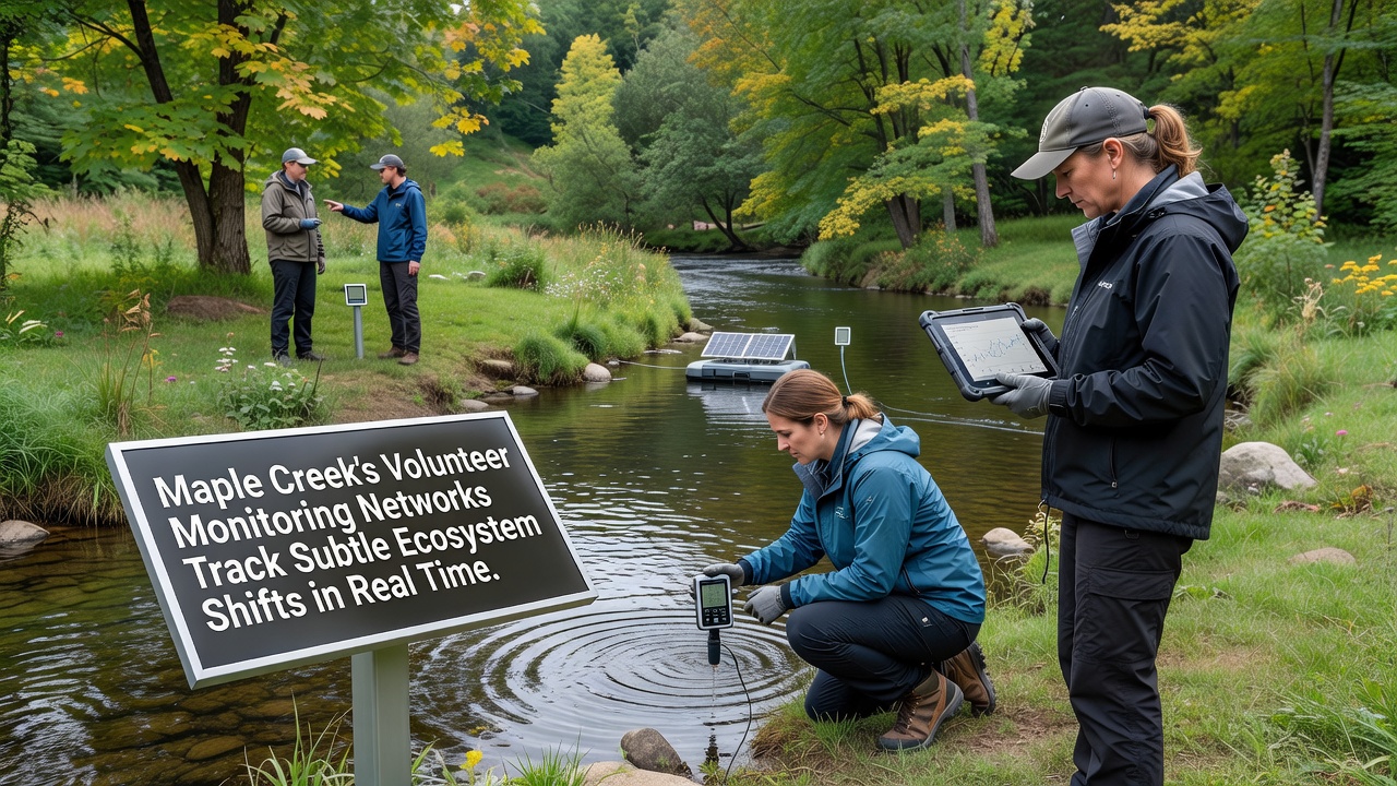
Volunteer monitoring networks have expanded across the Maple Creek watershed to capture fine-scale changes in water quality, vegetation patterns, and wildlife activity as they unfold. These community-led efforts combine handheld sensors, smartphone apps, and scheduled observation routes that feed information into centralized databases updated several times each day. Local participants record metrics such as dissolved oxygen levels, turbidity, and temperature fluctuations while also noting plant phenology and insect presence along established transects.
Network Structure and Daily Operations
Coordinated teams operate from fixed stations positioned at upstream, midstream, and downstream locations, each equipped with portable probes that transmit readings directly to a shared platform. Participants follow standardized protocols developed in collaboration with regional environmental agencies, ensuring measurements remain comparable across sites and over multiple seasons. Data collection occurs at dawn, midday, and dusk to capture diurnal variations that automated loggers sometimes miss during brief events like sudden rainfall pulses or temperature spikes.
Training sessions held monthly review calibration techniques and safety procedures, while digital dashboards allow anyone with access to view live graphs and historical trends. Volunteers upload photographs alongside numerical entries, creating visual archives that help analysts verify unusual readings without requiring immediate site visits. This layered approach has produced continuous datasets spanning more than three years, revealing gradual shifts in baseflow chemistry and riparian vegetation density that single-season surveys often overlook.
Real-Time Data Applications
Information gathered through these networks supports rapid responses to detected anomalies, such as unexpected drops in pH or increases in nutrient concentrations following agricultural runoff events. Municipal planners review the same streams of data when evaluating infrastructure projects near sensitive reaches, while researchers at nearby institutions incorporate the observations into models forecasting longer-term watershed responses. Alerts generated by threshold algorithms notify designated coordinators within minutes, enabling follow-up sampling before conditions change further.
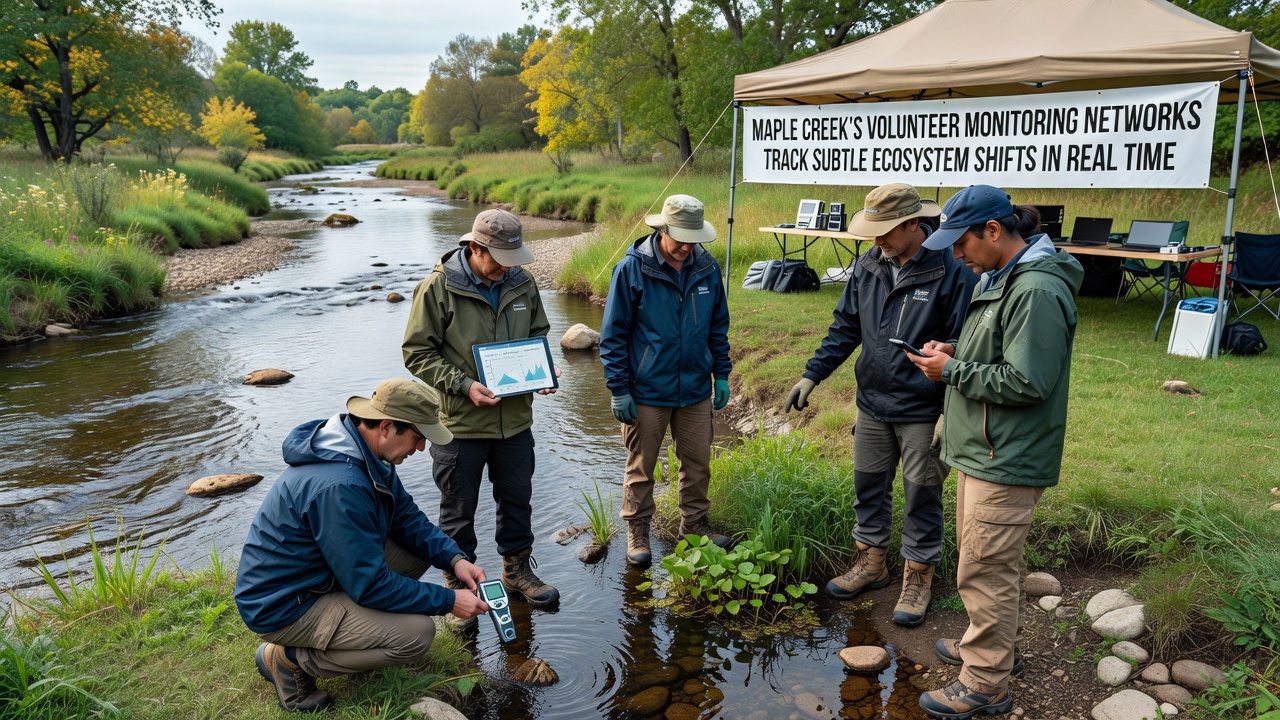
In November 2026, network records documented a series of minor temperature inversions that coincided with delayed leaf drop in several cottonwood stands, providing fresh material for studies examining microclimate influences on deciduous species. The same period showed stable macroinvertebrate counts at most stations, though one downstream site recorded a brief spike in tolerant taxa after a localized sediment input. These details emerged only because daily sampling continued uninterrupted through the shoulder season, when professional crews typically reduce field schedules.
Integration with Broader Research Efforts
Maple Creek observations now contribute to larger regional datasets maintained by Environment and Climate Change Canada, where analysts compare local patterns against satellite-derived indices of vegetation health and snow cover duration. University teams have begun cross-referencing volunteer readings with acoustic recordings from automated wildlife monitors, strengthening correlations between water chemistry and avian or amphibian activity. The combined records help distinguish natural seasonal cycles from emerging trends linked to changing precipitation regimes across the northern prairies.
Equipment upgrades introduced in 2025 added low-cost nitrate sensors to half the stations, expanding the parameter list without increasing volunteer workload. Calibration checks performed at the start and end of each shift maintain accuracy within acceptable limits, and duplicate measurements at overlapping sites confirm consistency across teams. Public summaries posted quarterly highlight key findings in accessible language, drawing steady interest from residents who track conditions near their properties.
Future Expansion and Data Sharing
Plans underway call for additional stations at tributary junctions and in headwater wetlands, extending coverage into areas previously monitored only seasonally. Partnerships with school programs introduce students to field methods while increasing the pool of trained observers available during peak sampling periods. Open data portals allow external users to download cleaned datasets under standard licenses, supporting independent analyses that range from hydrological modeling to educational modules developed by instructors outside the immediate region.
According to reports from the Government of Canada, volunteer contributions have supplemented professional monitoring capacity in several prairie watersheds, delivering higher temporal resolution than agency staff alone could sustain. Similar networks operating in other provinces provide comparative benchmarks that help place Maple Creek results within a broader context of grassland stream responses.
Conclusion
The volunteer monitoring networks operating in Maple Creek continue to generate detailed, time-stamped records that document ecosystem conditions as they evolve. By maintaining consistent protocols and integrating new sensor types, participants supply information that informs both immediate management decisions and longer-term scientific assessments. Ongoing expansion and data-sharing arrangements position these efforts as a sustained source of observations for the watershed and surrounding region.